San Antonio Fringe Community
About Atascosa, TX
Welcome to Atascosa, a rural Bexar County community set just off Interstate 35, about fourteen miles southwest of downtown San Antonio.
Atascosa is a small, unincorporated community in southwestern Bexar County, Texas, set just off Interstate 35 about fourteen miles southwest of downtown San Antonio. The Spanish word atascosa, meaning "boggy," described the area's low-lying, water-holding terrain well before the community took shape, and the name is shared with the adjacent county that sits farther south along I-37. Despite the shared name, the community of Atascosa has always belonged to Bexar County. The community developed as a rural crossroads and rail stop serving surrounding farms and ranches, and it retains that agricultural character today. Much of the surrounding landscape is open grassland and scrub, broken by live oaks, mesquite, and working ranchland. The Medina River valley and its tributaries run through the wider area, and the Atascosa River begins to the south, giving the region its identity as a gateway between San Antonio's expanding edge and the South Texas brush country. Modern Atascosa functions as a quiet residential fringe of San Antonio. The ZIP code 78002, shared with the nearby communities of Macdona and Von Ormy, covers a mix of rural homesteads, larger acreage properties, and newer single-family subdivisions that have pushed outward along the I-35 and Loop 1604 corridors. Residents typically work in San Antonio, reachable in roughly twenty to twenty-five minutes by car, while enjoying a lower-density, country setting at the end of the day. The community is closely tied to the Southwest Independent School District, which has its administrative offices on Old Pearsall Road in Atascosa itself. That institutional anchor, together with the area's road and freight connections, makes Atascosa a practical and increasingly visible part of Bexar County's south side.
Frequently Asked Questions
What county is Atascosa in?
The community of Atascosa is located in southwestern Bexar County, Texas, not in the neighboring Atascosa County that lies farther south. This often surprises newcomers because the two share the same name. Atascosa sits just off Interstate 35 about fourteen miles southwest of downtown San Antonio and shares the 78002 ZIP code with Macdona and Von Ormy.
What school district serves Atascosa?
Atascosa is served by the Southwest Independent School District, which has its administrative offices on Old Pearsall Road within the community itself. Southwest ISD covers much of southwestern Bexar County, including Von Ormy and parts of southern San Antonio, and operates elementary, middle, and high school campuses that serve students living in the Atascosa area.
How far is Atascosa from downtown San Antonio?
Atascosa is about fourteen miles southwest of downtown San Antonio, with a typical driving time of roughly twenty to twenty-five minutes via Interstate 35. Loop 1604 and other major corridors connect the community to San Antonio's west and south sides, making it a practical base for commuters who want a rural setting within easy reach of the city.
What kind of housing is found in Atascosa?
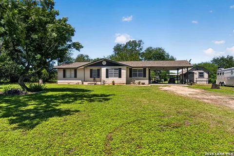
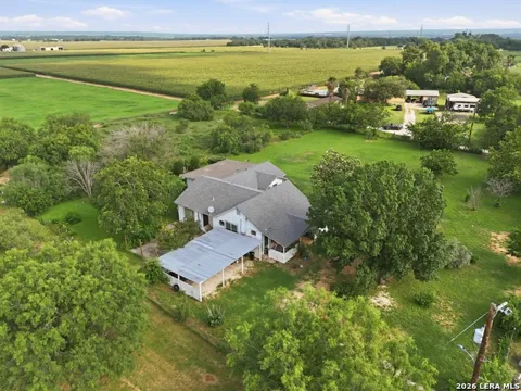
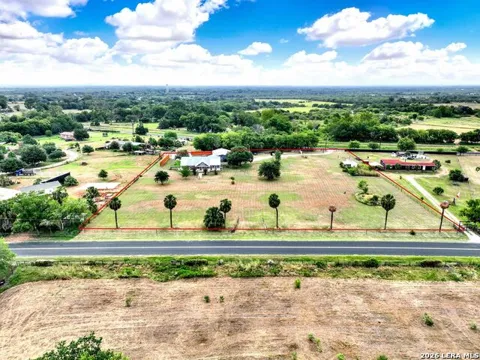
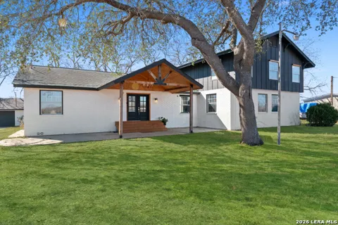
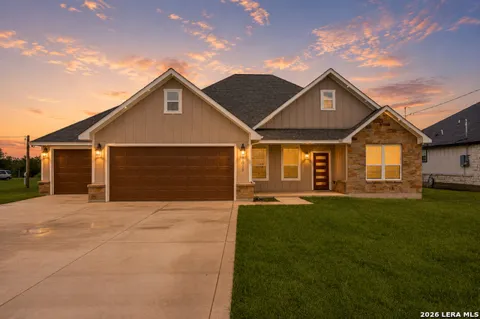
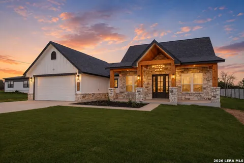
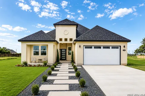
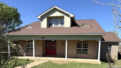
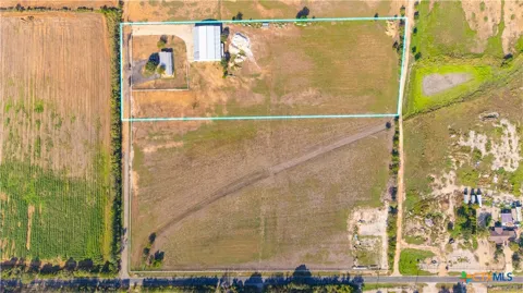
Housing in Atascosa ranges from rural acreage and ranch-style homes to newer single-family subdivisions. Lot sizes tend to be larger than in San Antonio's inner suburbs, and many properties offer room for workshops, livestock, or storage. The community blends long-established rural homesteads with more recent tract construction along the I-35 and Loop 1604 corridors.
City Guide
About Atascosa
Real Estate & Housing
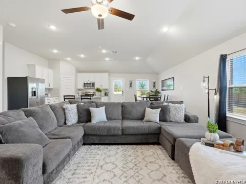
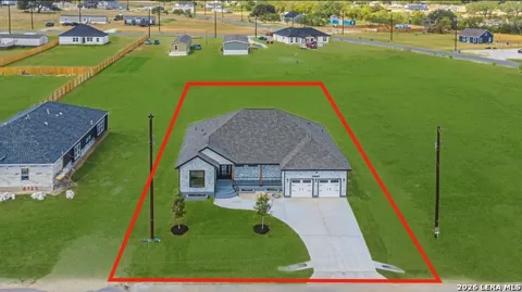
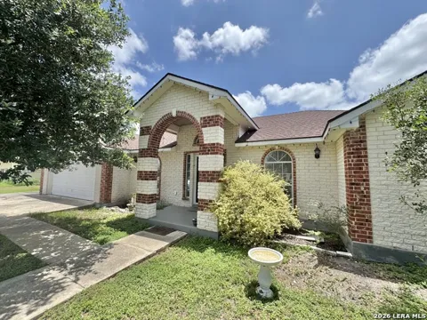
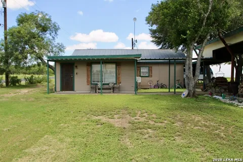
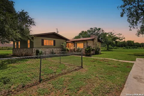
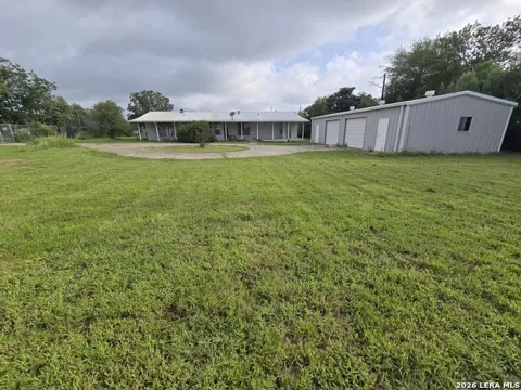
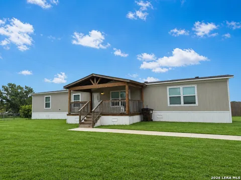
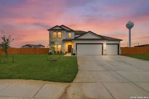
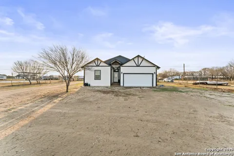
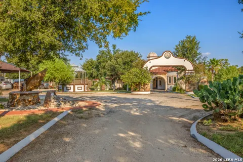
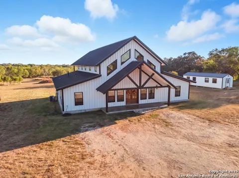
Housing in Atascosa reflects its transition from farmland to San Antonio suburb. The area offers larger-lot single-family homes, rural acreage with ranch-style houses, and manufactured homes on spacious parcels, alongside newer conventional subdivisions that have arrived along the I-35 and Loop 1604 corridors. Lot sizes are generally larger than in San Antonio's inner suburbs, and buyers often find room for workshops, livestock, or storage that urban neighborhoods cannot accommodate. The mix of older rural homesteads and more recent tract construction gives the community a varied, evolving housing character, with many properties backing to open pasture or tree lines rather than dense neighboring development.
Neighborhoods
Atascosa is less a collection of defined subdivisions than a rural community threaded along Old Pearsall Road, I-35, and the surrounding county roads. It shares the 78002 ZIP code with Macdona and Von Ormy, two neighboring communities that together form a loose cluster of small, unincorporated settlements on San Antonio's southwest edge. Residential pockets range from long-established ranch homesteads to newer single-family subdivisions, often separated by open land. This patchwork character means neighbors may be a short drive apart rather than across the street, and the community's identity centers on its rural setting and shared school district rather than on formal neighborhood boundaries.
Lifestyle in Atascosa
Daily life in Atascosa is distinctly country-pace, oriented around homes on acreage, ranch work, and the routines of a small South Texas community, while San Antonio's employment, shopping, and cultural amenities sit just a short drive up I-35. The area's low density and open landscape appeal to people who want room to spread out, keep animals, or operate a home business, yet still reach the city easily. Big-box retail, healthcare, and dining are concentrated along Loop 1604 and in southwest San Antonio, while locally the rhythm is quieter, with rural roads, family ranches, and community schools anchoring everyday life.
Schools & Education
Public education in Atascosa is provided by the Southwest Independent School District, which is headquartered on Old Pearsall Road within the community. Southwest ISD is a large, fast-growing district serving much of southwestern Bexar County, including the Von Ormy and southern San Antonio areas, and operates numerous elementary, middle, and high school campuses. The district's presence gives Atascosa a stable institutional anchor, and families moving to the area enroll in its attendance-zone schools. For higher education, nearby options include Alamo Colleges District campuses and Texas A&M University–San Antonio, both reachable within a short drive along the I-35 and Loop 410 corridors.
Getting Around
Atascosa's biggest transportation asset is its frontage on Interstate 35, which carries traffic directly into downtown San Antonio about fourteen miles to the northeast. Loop 1604, San Antonio's outer beltway, intersects the area to the north and links it to the city's west and south sides, while U.S. Highway 90 and Loop 410 provide additional east-west options. The location makes for a straightforward car commute of roughly twenty to twenty-five minutes to central San Antonio and convenient access to the Port San Antonio employment area and Lackland Air Force Base. San Antonio International Airport is reachable in about thirty minutes, and freight-oriented businesses benefit from the nearby rail and highway corridors.
Parks & Recreation
Recreation around Atascosa draws on South Texas's open countryside and its proximity to San Antonio. The Atascosa River and Medina River watersheds offer fishing and riverside access within a short drive, while Medina Lake, to the west, provides boating and camping. San Antonio's Mitchell Lake Audubon Center and the larger Government Canyon State Natural Area sit within reasonable reach for hiking and birding. Residents also enjoy easy access to the city's cultural and entertainment venues, including downtown San Antonio, SeaWorld, and the Alamo, making the community a convenient base for both rural outdoor recreation and urban attractions.
MARKET SNAPSHOT
The Market at a Glance
How homes have been selling here over the last 90 days.
Price & Sales History
Market data reflects closed sales over the last 90 days and is provided for informational purposes.
Zip Codes
BROWSE BY ZIP
Browse listings by postal code in this area.
- Grid
- Map
- List